
ICMG26 – The 16th International Conference on Military Geosciences, US Military Academy.
Hosted at the United States Military Academy, West Point, New York, USA, 7–12 June 2026 | Eisenhower Hall Theatre, West Point
Post-Conference Battlefield Tour: 12–17 June 2026
Last update: 4 August 2026
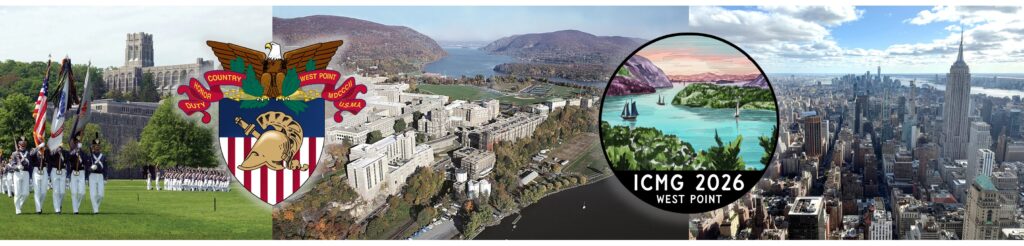
The 16th International Conference on Military Geosciences (ICMG26) was hosted by the Department of Geography and Earth Sciences at the United States Military Academy.
Theme: Theory and practice – the past and future of military geoscience in a complex world
This theme invited participants to reflect on the evolving relationship between geoscientific knowledge and military application—bridging historical foundations with forward-looking innovations. Covering a broad and increasingly inclusive array of military-related topics, ICMG26 explored how military geoscience continues to inform both students and practitioners of war and its related activities.

Conference Report
Reporting courtesy of Sapper F. Nixon, Royal Engineers, British Army
The ICMG is a bi-annual conference that has been running over 30 years that brings together academics and engineers from all over the world to share research, expertise and understanding of the military applications of geosciences (geology, geography and earth sciences) and is open to all with interest in this field.
This year, to coincide with the 250th anniversary of their declaration of independence the conference was held at the United States Military Academy, West Point.
The conference itself was split into five days covering three days of lectures and discussion panels and two days of field trips with an additional post conference battlefield study.
Day 1:
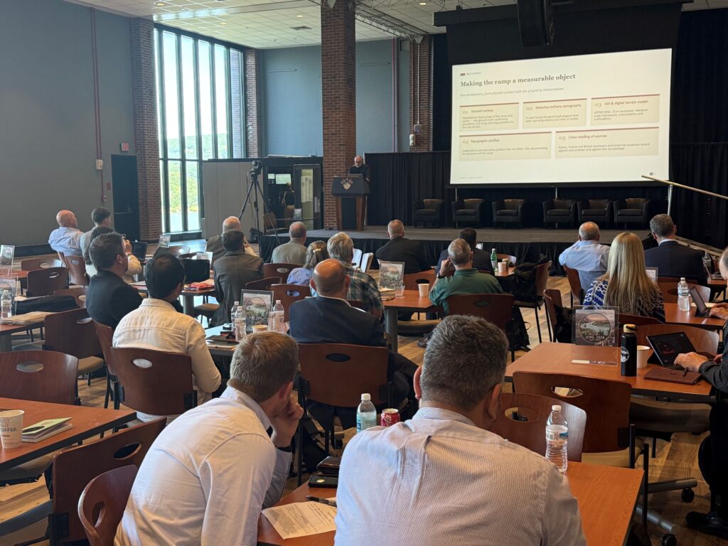
Day 1 focussed on the theoretical aspects of military geosciences and included discussions and lectures on diverse topics such as: tracing evidence of D-Day using beach sediment samples, geomorphological analysis of the El Alamein battlefield through to infrastructure, resources and governance on the moon and the geography of extraction of the Central African Copper Belt.
Day 2:
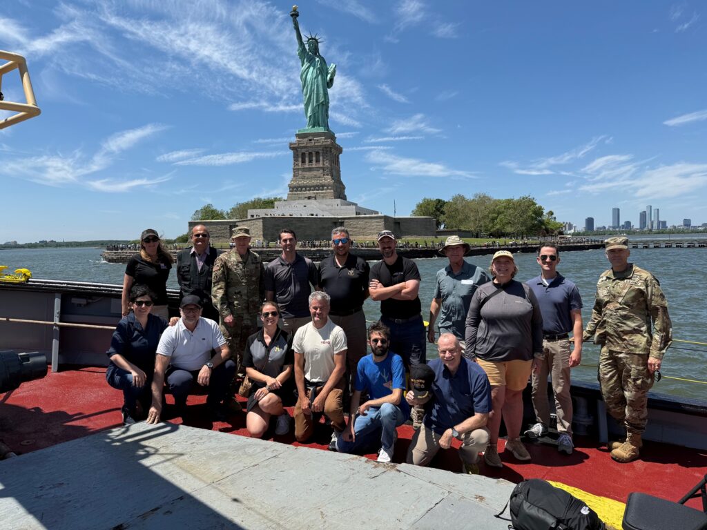
Day 2 was a field trip to New York City which included stops at the New Croton Dam and Croton Water Filtration Plant in which the size and complexity of providing reliable clean drinking water to the population of New York city was explored. The group then was split between those who elected for a tour of the NY port authority/US Army Corps of Engineers to understand how they manage a globally important harbour. The other group had a tour of Governors Island and learnt how geography was critical in siting artillery batteries across the New York area deterring seaborne attackers from the 18th through to the 20th century.
Day 3:
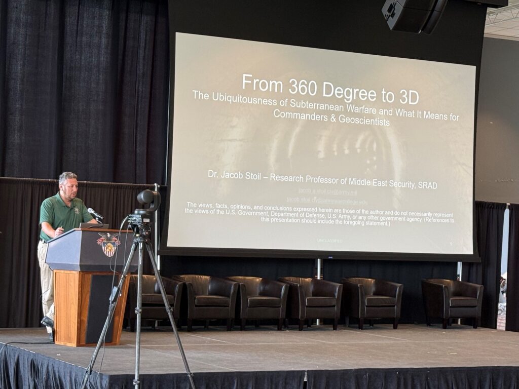
Day 3 focussed on the geoscience aspects of Urban Warfare, Air/Land/Sea, and Geospatial studies. This included lectures on Underground Warfare in the Middle East, environmental targeting in the Russia/Ukraine war, geomorphological analysis of Italian marine sabotage operations in the Second World War, using GIS to improve mapping and traversability in Estonian forests and detecting vessel loading operations using open source satellite data. Additionally, Colonel Drew Craig (RE) presented a talk on operationalising quantum sensing for subsurface spatial intelligence.
Day 4:
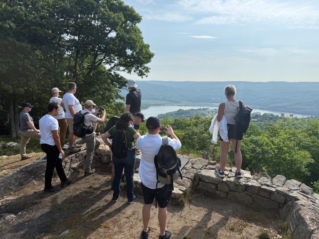
Day 4 was one of the highlights of the conference as we were treated to a guided tour of the West Point campus and landscape by members of the department of earth sciences. We also visited many of the fortifications around the academy and could see both why British forces wanted to capture West Point and use the Hudson River to split the rebelling colonies and how the nascent US Army was able to deter this through well sited mutually supported fortifications and batteries at West Point. We also were given a guided tour of the Stoney Point battlefield in which a British garrison was defeated by the use of terrain and the element of surprise.
As part of the conference banquet that evening we were addressed by Major General Shawley, United States Army (Retired), who impressed upon us the importance of the appreciation of geosciences in military spheres and the overarching role that mother nature has in both shaping warfare in addition to maintaining peace across the globe.
Day 5:
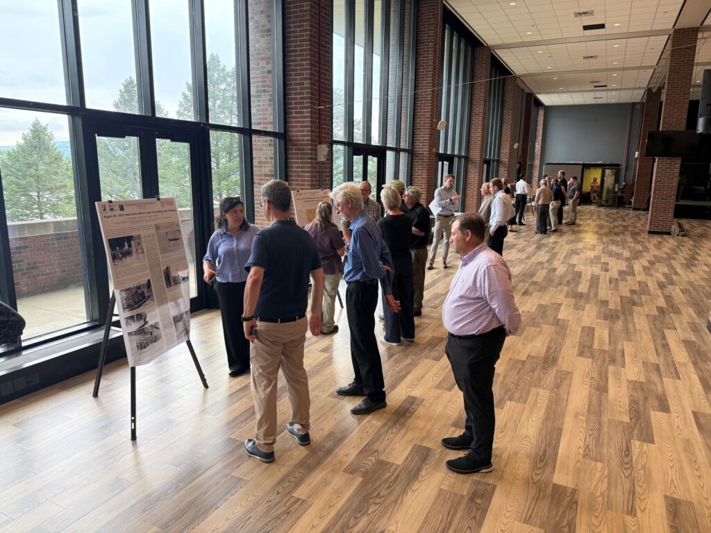
Day 5 concluded with a poster session in which topics ranged from analysis of the terrain at the Battle of Islandwana, analysis of critical mineral security during the American War of Independence in addition to GIS-based reconstruction of the WWI Military Landscape on the Marmolada Glacier-Italy.
Post Conference Field Trip to the Hudson and Mohawk Valleys:
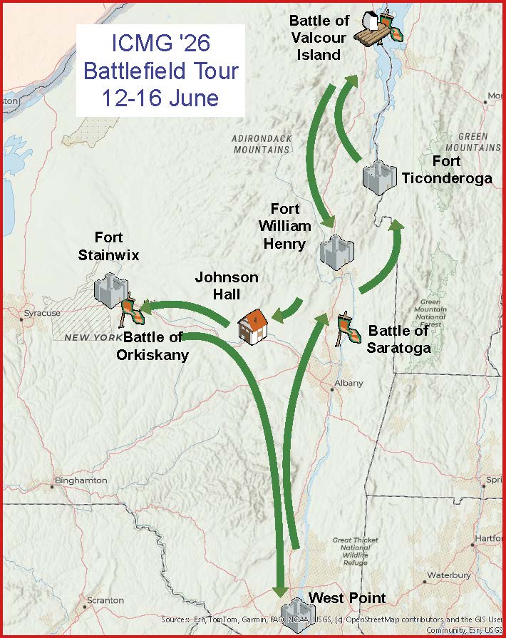
After the main conference had finished, myself and a small group, accompanied by members of the USMA Department of Earth Sciences undertook a battlefield study tour of the Hudson and Mohawk Valleys. This focussed on campaigns during the American War of Independence and the Seven Years War.
This trip was the overall highlight of the conference as we were taken to a range of different battlefields both on land and on the water at Lake Champlain. All of these sites showed clearly how landscape shaped both the strategic, operational and tactical considerations of the forces at play during these conflicts: French, British, American loyalist, Native American and American Rebel (United States). It was interesting finding out just how much of a civil war the American War of Independence was and the long term impacts it had for Britain, her remaining colonial possessions in the Americas as well as for the Native Americans in this region and in Canada.
Concluding thoughts:
As a practising geoscientist and Sapper, standing on the ground where British and American forces faced one another in battle 250 years ago was a massive privilege. Both the conference and the post‑conference field trip underscored the critical importance of terrain in 18th century warfare and demonstrated how these geoscience considerations remain highly relevant today.
The next conference is due to be in Rome in 2028 and will include study trips to Second World War battlefields in which Royal Engineers both used and had to overcome the formidable natural environment of Italy to create the conditions for overall victory in Europe.
Post-Conference Battlefield Tour (12–17 June 2026)
This was a five-day historical and geoscientific journey through the Mohawk and Hudson Valleys, both rich in strategic military history. Sites included pivotal Revolutionary War battlefields, early American forts, key transportation corridors, and dramatic landscapes that shaped military operations across both the Seven Years War (French and Indian War) and the American Revolution.
Publication Update
Select papers presented at the conference are being prepared for be inclusion in peer-reviewed publications. Details of this publication will be announced in due course.