Greenwich, UK, 2000
(Conference summary reproduced with permission; original text published in: Häusler, H. 2009. Report on National and International Military Geo-Conferences held from 1994 to 2007, MILGEO, Nr. 30E, Austrian Ministry of Defence and Sports).
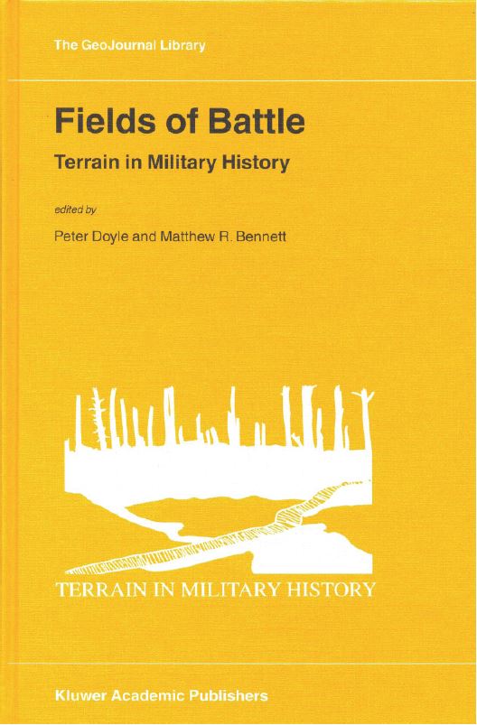
In January 2000 the fourth conference was organised by the Greenwich University in association with the Imperial War Museum, London and the Royal Engineers Museum in Chatham. This conference brought together historians, geologists, military enthusiasts and terrain analysists from military, academic and amateur backgrounds with the aim of exploring the application of modern tools of landscape visualisation to understanding historical battlefields (DOYLE & BENNETT, 2002). The abstract volume contained thirty-four contributions from which twenty were published as volume 64 in the “GeoJournal Library” by Kluwer Academic Publishers. Their contributions are listed in Table 1.
The editors considered five aspects in the tactical assessment of terrain:
- Position is everything in a battle
- Mobility requires an understanding of the ground conditions
- Consideration of ground conditions requires an assessment of the geology and the ability of soldiers to dig into it, to create permanent emplacements, defensive positions, and airfields.
- Resource provision such as agriculture, aggregates or water supply
- Hazard mitigation: natural hazards such as excessive rainfalls can cause difficulties

According to the Concise Oxford English Dictionary, the physical geographer or the military tactician defines terrain as a tract of land. Military considerations are therefore at heart of any definition or exploration of terrain, and it is therefore unsurprising that most of the methods of terrain evaluation are born from military needs. As a concept terrain is, therefore, something that encompasses both the physical aspects of the earth’s surface, as well as the human interaction with them (DOYLE & BENNETT, 2002 b, p. 1).
GeoJournal is an international journal on human geography and environmental issues. It focuses on the links between the transformation of modern society, technological development and environmental change, as interpreted by human geography and related sciences. The sphere of interest of the journal encompasses all relevant processes reshaping human activity patterns in different parts of the world, the methods of their analysis and the forms of application of geographical knowledge in planning and forecasting.
Table 1 – Papers
| Author | Title | Subject |
|---|---|---|
| BADSEY | Terrain as a factor in the Battle of Normandy 1944. | Geography, WWII |
| BLAKE | Airfield country: terrain, land use and the air defence of Britain. | Geography, WWII |
| BOSTYN | British underground war in Flanders, 1915-1917. | Engineers, WWI, technical |
| CASTELL & FALCÓ | Battle of the Ebro or battlefields as a didactic resource. | Geography, WWI, didactics |
| CASTELL & ROURA | The Thirty-Years War: Europe, a dark and bloody ground, 1914-1945: The contribution of battlefields to the creation of a European cultural identity. | Geography, WWI, didactics |
| CATHERS | ‘Markings on the Land’ and early medieval warfare in the British Isles. |
Geography, battle site |
| CHASSEAUD | British, French and German mapping on the Western Front in the First World War | Geodetic survey, WWI |
| CICIARELLI | The geology of the Battle of Monte Cassino, Italy, 1944. | Geology, WWII |
| DOYLE & BENNETT | Terrain in Military History: an introduction. | Terrain, military history |
| DOYLE & BENNETT | Terrain and the Gallipoli Campaign, 1915. | Geology, WWI |
| EHLEN & ABRAHART | Effective use of terrain in the American Civil War: The battle of Fredericksburg, December 1862. |
Geography, terrain |
| EVANS | Maps and decisions: Buller south and north of the Tugela., 1899-1900 | Topography |
| HALSALL | The geology of battle in Southern England during the First Civil War, 1643-1644. | Geology, historic |
| HALSALL | Geology and warfare in England and Wales 1450-1660. | Geology, historic |
| KIMBLE & O´SULLIVAN | Terrain and guerrilla warfare in Navarre, 1808-1814. | Topography, historic |
| PITTMAN | Tullahoma: Terrain and tactics in the American Civil War. | Geography, tactics |
| POLLARD | An archaeological approach to the landscape of the Anglo-Zulu War, 1879. |
Archaeology |
| ROSE, GINNS & RENOUF | Fortification of island terrain: Second World War German military engineering on the Channel Island of Jersey. |
Geology, WWII |
| THOMPSON | Road engineering, transportation and movement during the third battle of Ypres 1917. | Logistics, WWII |
| UNDERWOOD & GIEGENGACK | The Long-Range Desert Group 1940-1943. | Tactics, WWII |
